Utilities / civil
Edit a water or power line on the map, and 7,514 parcel routes rebuild themselves
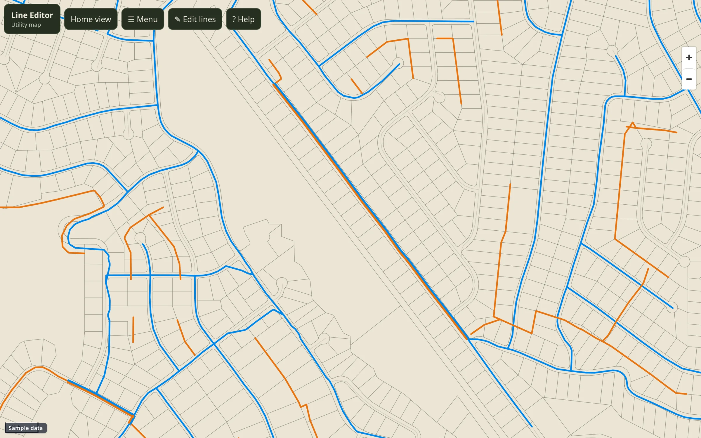
Utility lines drawn and corrected on a map, with lot distances that recompute after the edits settle.
01 / Problem
What wasn't working.
Buyers ask how far a lot is from water and power. The utility maps were old and partly wrong, and fixing a line meant asking someone to regenerate the data by hand.
02 / Approach
What I built.
- 01
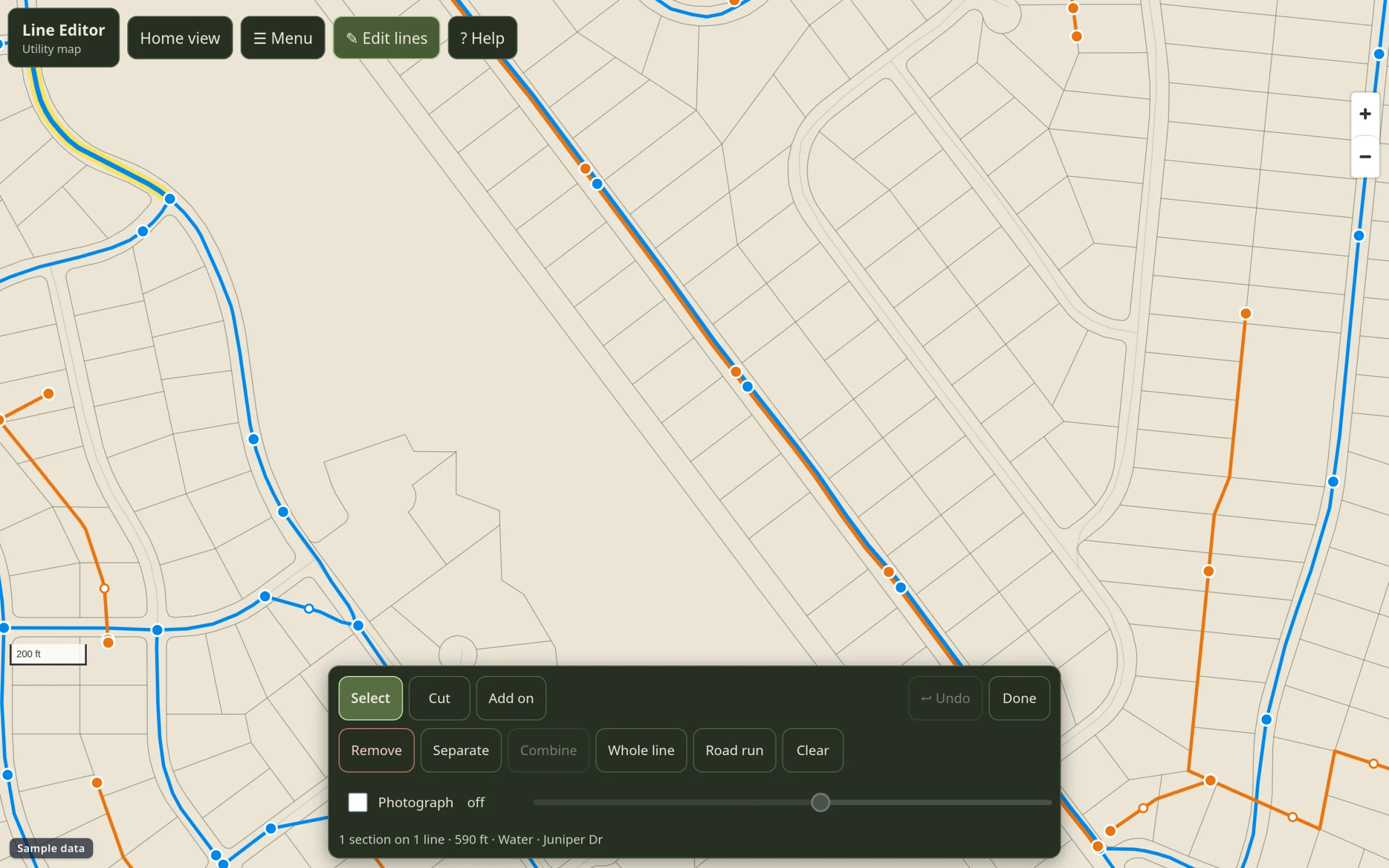
Editors draw and adjust lines on the map. Each edit is saved as an override and shows up right away in the parcel map.
- 02
A timer waits for 10 quiet minutes, then reroutes every parcel. One run rebuilds a 7,514-row route set in about 5 to 12 minutes.
- 03
Route distance and straight-line distance are both kept, so nobody confuses the two.
- 04
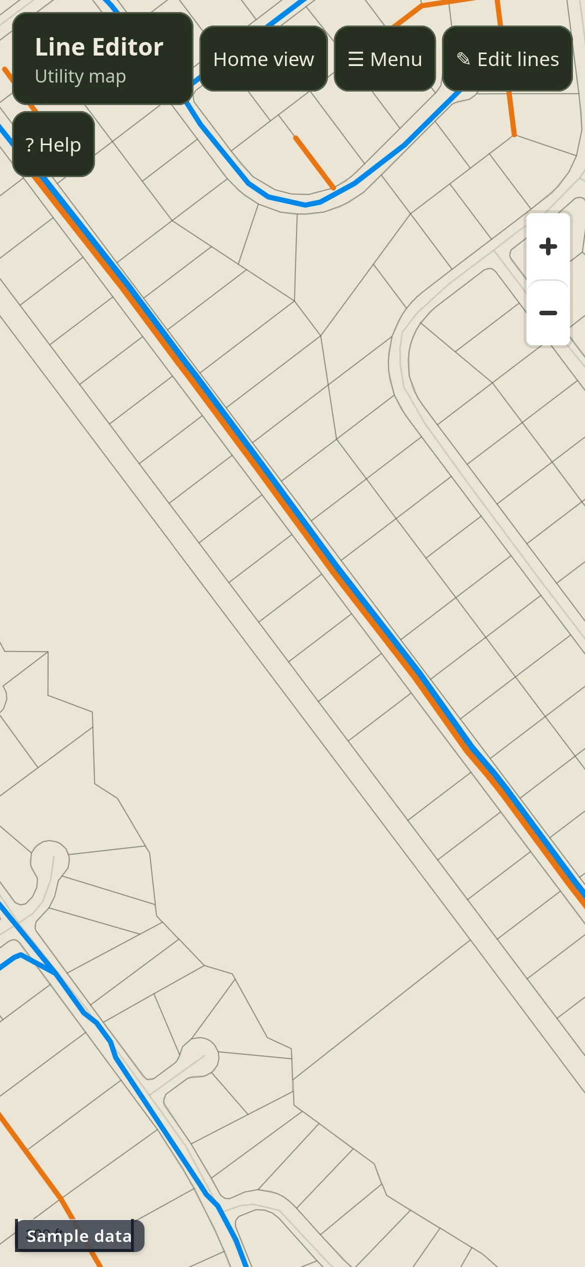
The Android app is a thin shell around the web app. A web deploy is the release.
03 / Architecture
How the pieces connect.
04 / Result
parcel routes rebuilt after every round of line edits. Line corrections happen in the field by the people who know where the pipe is. Distances on every lot listing follow within one run.
Draw, move, delete
Edit lines directly on the map with undo.
Debounced rebuild
Reroutes after edits stop, never mid-edit.
Shared data
Same backend as the parcel map. No export step.
Show me
Bilingual help that highlights the real controls.
Have a problem like this one?
Book a call